Every digital twin starts with great data capture. Keep scrolling: each instrument takes its turn.
01 · 3D-Laserscanning & Tachymetry
Millimetre-precise geometry.
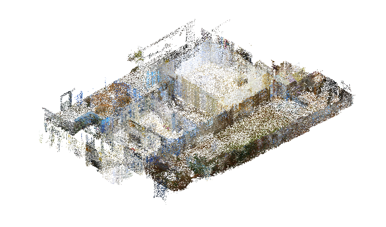
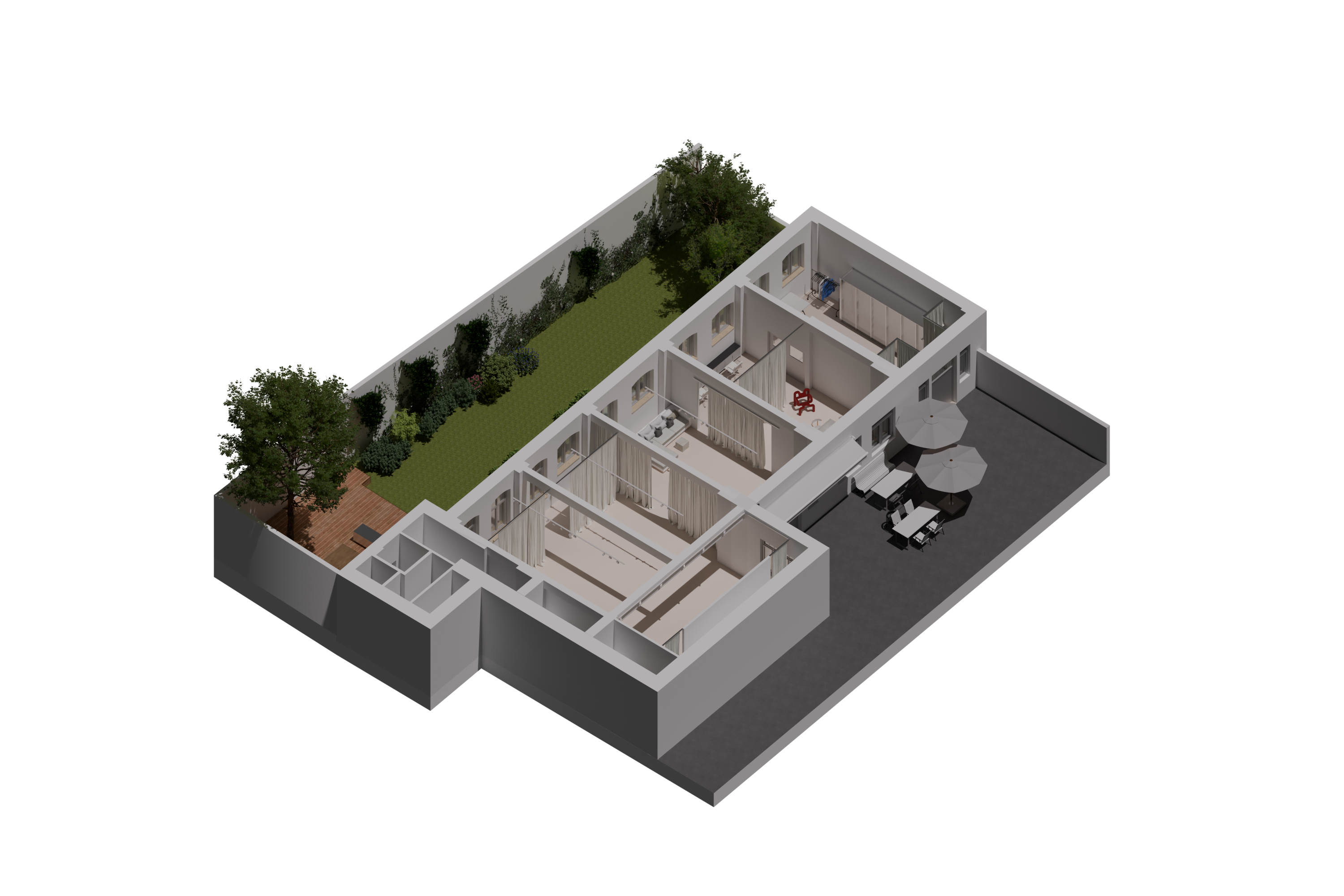
Terrestrial 3D-Laserscanning combined with tachymetry surveys the complete geometry of your building, inside and out. The registered point cloud is the single source of truth on which plans, models and BIM models are built.
Point cloudE57 / RCPmm precision
02 · Drone Photogrammetry & Video
Every angle, documented.
Drone-mounted cameras capture overlapping aerial photos and videos from angles no terrestrial scanner can reach. Processed photogrammetrically, they become textured mesh models, point clouds and true-to-scale ortho imagery.
Drone imagingPhotogrammetryOrtho views
03 · 360° Photos & Architecture Photography
The character, on record.
360° tours document every room at a fixed point in time, and professional architecture photography captures what no scanner can: materiality, light and atmosphere, ready for marketing, documentation and heritage records.
360° tourMarketingHeritage record